Introducing REVEAL Maps

AGTEK Webinars
Complete the form to view this webinar.
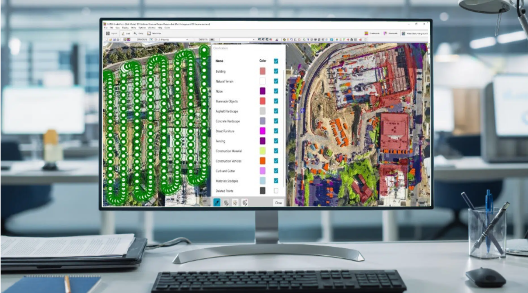
Introducing Reveal Maps is a powerful AGTEK webinar that unveils how construction teams can accelerate data processing and streamline jobsite workflows using Reveal Maps and Reveal Clean. This session introduces AGTEK’s latest innovation in point cloud optimization and surface modeling, designed to simplify the way heavy construction professionals clean, visualize, and analyze drone and LiDAR data.
In this webinar, you’ll learn how Reveal Maps transforms raw data into actionable insights—faster and more accurately than ever before. Discover how to eliminate noise, enhance terrain clarity, and generate clean, ready-to-use surfaces for takeoffs and progress tracking. Whether you’re managing earthwork, utilities, or site development, Reveal empowers your team to make smarter decisions and stay ahead of schedule.