Create and Share 3D Models with Speed and Accuracy

The availability of accurate 3D modeling data for earthwork projects has improved significantly over the last decade. However, access to high-quality data must still be ubiquitous across the industry. Data often comes in various formats, ranging from PDF plan sheets to 3D models created in proprietary formats. Access to different data types may also vary during the design and construction process, with less accurate initial drawings often being the starting point and more refined 3D models being made available later in the design process.
Accurate data extraction, using all available data sources, and sharing results at every stage of the process can provide a significant advantage when bidding and completing work.
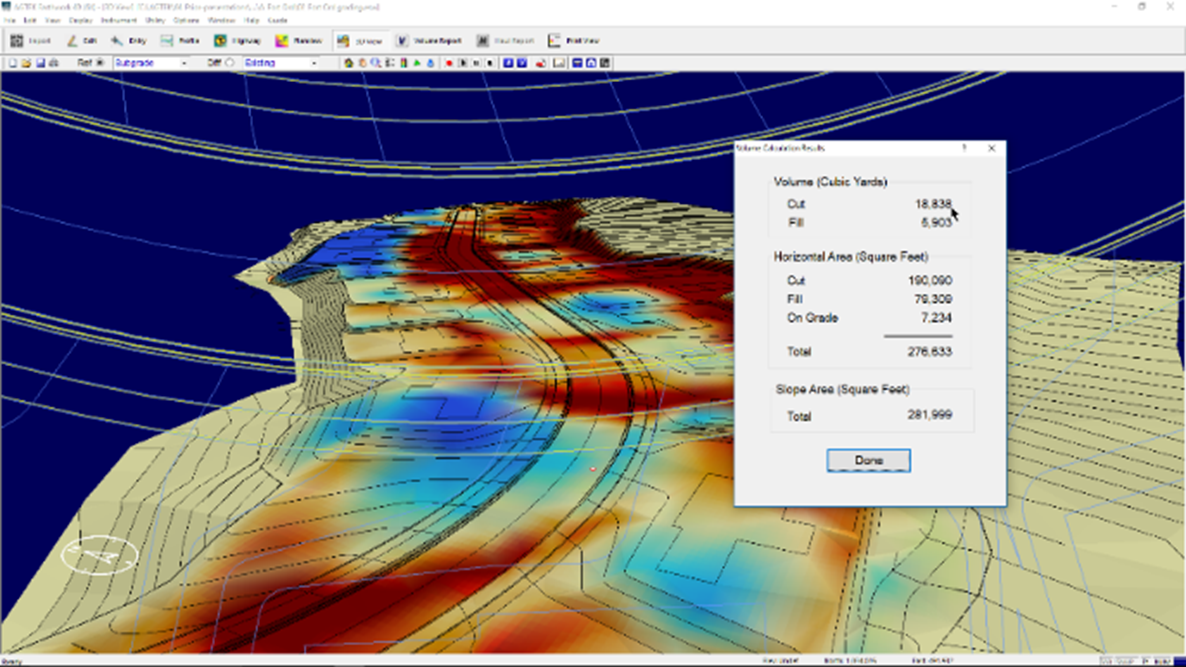
AGTEK’s innovative takeoff and modeling solutions empower you to create a digital 3D environment effortlessly from almost any data source. Whether through direct data entry, simple PDF plans and profile conversions, or CAD designs, our solutions seamlessly fuse data from multiple sources to quickly create 3D models tailored for earthwork projects. With AGTEK, your team can complete takeoffs with ease, visualize and virtually drive the model in 3D, and plan material movement, ensuring a smooth start to your project.

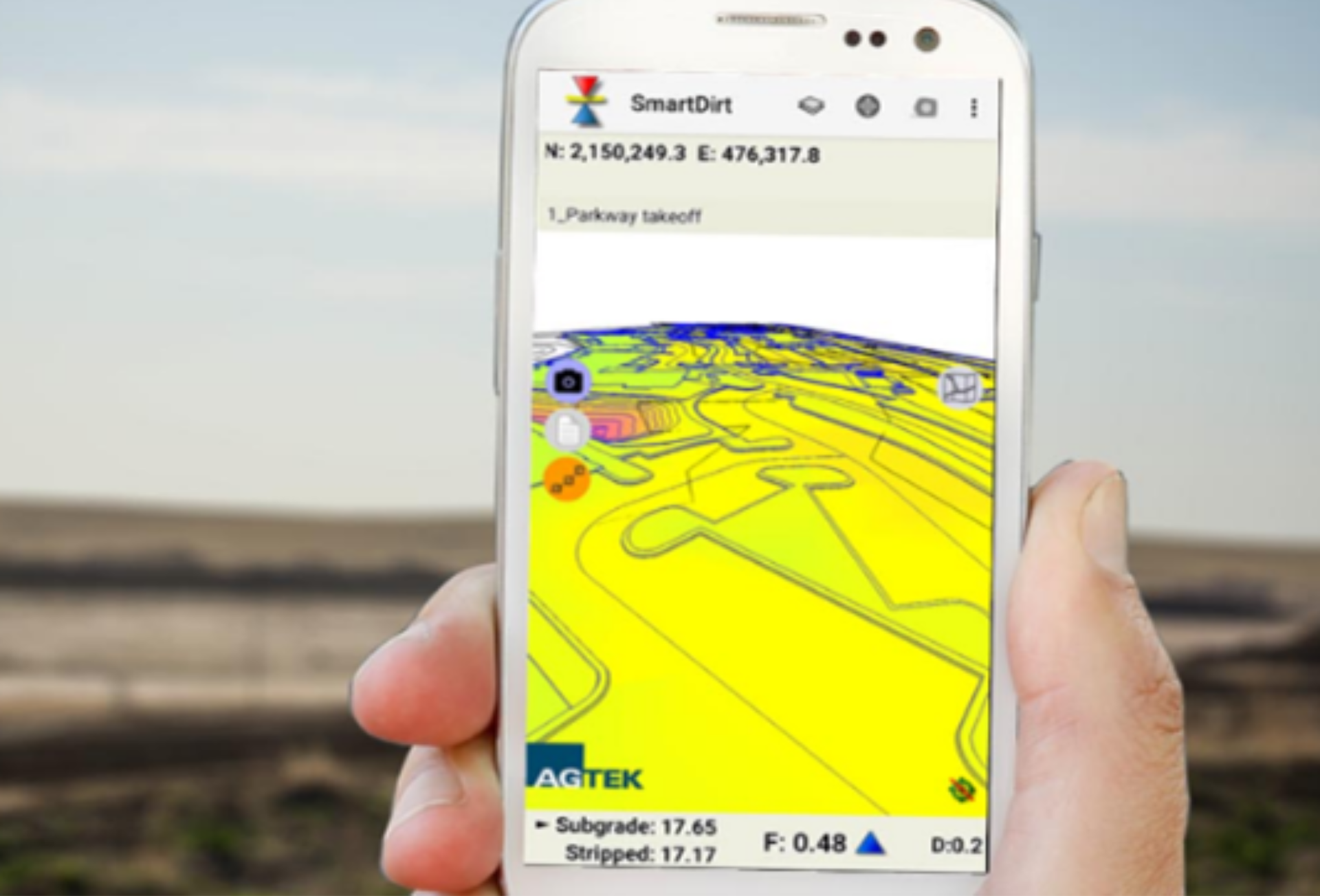
Once a digital 3D model is ready, sharing it with the necessary stakeholders can often be a challenge due to expensive 3D modeling licenses or access issues in the field. AGTEK overcomes this by enabling quick data sharing via the cloud and converting it to a file format viewable on Google Earth. The entire 3D model can be downloaded to your mobile device, putting all the plan information directly into the hands of your field team. This empowers your workforce with georeferenced information wherever they are, simplifying and streamlining the sharing process.
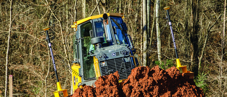
When the work starts, the same 3D model can be leveraged for haul planning and equipment tracking and exported to your machine control fleet or survey and grade checking crew from Trimble, Topcon, or Leica.

Optimizing the readily available data from multiple sources, sharing it throughout your organization, and using it in the field can significantly improve project tracking and completion.
Backed by industry and technology experts, AGTEK provides a comprehensive range of solutions that support you at every step, from takeoff to final project handover. To learn more about AGTEK’s modeling solutions, visit our website.