News
The latest company updates, industry trends, product releases, customer stories and events.

Filter by
AGTEK: Combining Speed and Simplicity to Help You Stay Ahead
Whether bidding on a project or managing earthwork operations, time is money. AGTEK is built to keep you ahead of the competition.
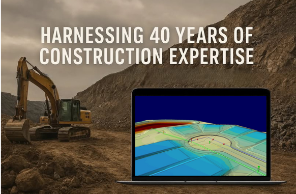
AGTEK’s 40-Year Legacy: Turning Construction Expertise into Powerful Software Tools
Learn how AGTEK, established in 1981, has built a reputation as a leader in earthwork estimating tools and construction takeoff software.

Training That Empowers Your Team
With live sessions, on-demand resources, and hands-on guidance, AGTEK training ensures your team can unlock the full potential of your software.

AGTEK Turns Innovation into Everyday Tools for Smarter Construction
Built for speed and simplicity, AGTEK turns constant change into a competitive advantage—delivering clarity, efficiency, and results on every project.
How Much Does an AGTEK System Cost?
AGTEK is designed to save you time, improve communication, and boost productivity. Here’s a look at costs and the benefits.
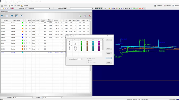
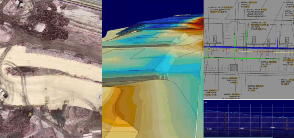
Smarter Underground Takeoff: How AGTEK Reduces Risk and Improves Field Communication
Learn how Underground provides contractors with a faster, more accurate, and better-documented method for estimating trench quantities and resolving conflicts.
Streamlining Construction Projects with the Materials Module
Learn how Materials delivers a smarter, more precise way to plan, track, and manage materials to keep projects moving.

Support That Delivers
Whether you have a quick question or a complex challenge, our experts are standing by to help you succeed.

Dirt Simple Express, August 2025
Welcome to The Dirt Simple Express, August 2025, AGTEK's quarterly newsletter.
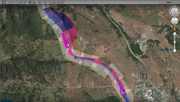
How AGTEK’s Highway Module Streamlines Road Construction
Road and highway projects require precision, speed, and adaptability. AGTEK’s Highway module is purpose-built to meet these challenges.
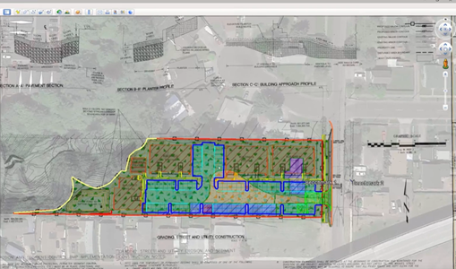
How AGTEK Takeoff Software Empowers Civil Contractors
In the high-stakes world of civil construction, precision and efficiency are everything. Enter AGTEK’s construction takeoff software—a game-changer!
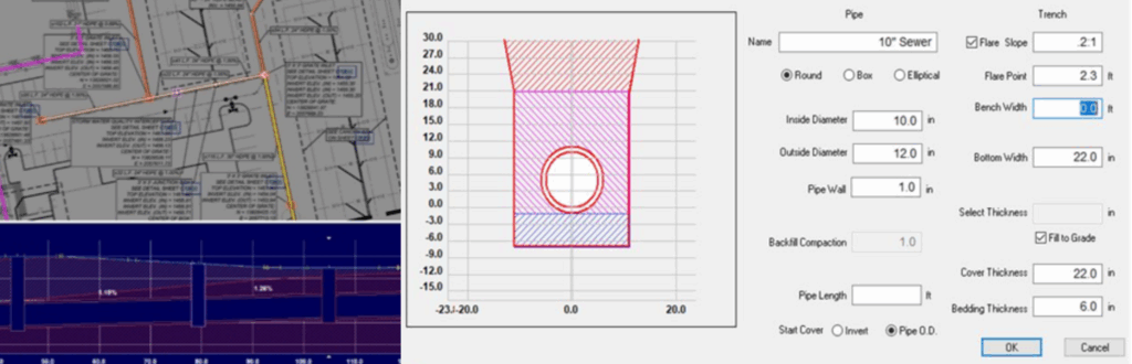
Boost Trench & Pipeline Efficiency with AGTEK Underground
Learn how Underground combines advanced visualization and seamless integration to accurately manage trenching and pipeline projects.