Please login×

Login
Password
Forgot Password×

To reset your password, enter your username OR your email.
The system will email a password reset link to your account.
Enter

Drone Solutions for Construction

Drones and UAV’s (Unmanned Aerial Vehicles) are fast and effective for accurate validation of site conditions, tracking production progress and providing insights into what work needs to be done, and what has been completed. When drone data is collected in the right way, the results are very detailed, accurate and can be captured with greater ease and safety compared to conventional surveying.
Key elements to successfully deploying drones in construction are the drone itself, the flight planning and data collection process. Straightforward AGTEK software workflows turn the individual images into orthoimagery and point clouds are combined with simple methods to align and validate results.

Flying a Drone for Construction

Drone for construction survey takeoff

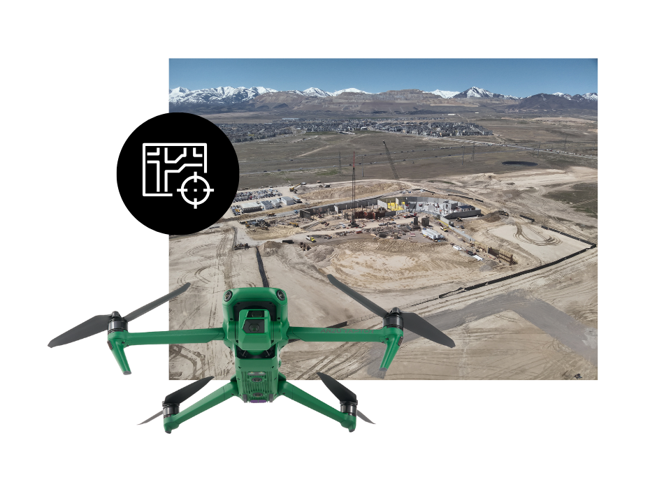
It all starts with a drone. AGTEK recommends the DJI Mavic 3E RTK drone for most construction projects. The Mavic 3E RTK is extremely versatile, with a simple workflow to get accurate repeatable results every time while being affordably priced. It's predecessor the P4 RTK, fixed wing and vertical takeoff and landing (VTOL) platforms can also be used within the AGTEK Drone workflow.

Flight planning is done by selecting the area to be flown on the remote. A flight path automatically calculates and with a click of a button the drone takes to the air and autonomously collects a series of photos which generate the orthophoto and the point cloud.

The secret to obtaining accurate repeatable results is using an RTK equipped drone. This is a similar process to a machine control system measuring its position or a grade checker measuring grade. The drone records data in the same reference system every time making the combined point cloud as accurate as data collected via an RTK GPS rover. Just like with any GPS system checkpoints are measured to ensure consistency. AGTEK software also works with Post Process Kinematic (PPK) workflows and traditional Ground Control Point (GCP) reference methods however these require additional steps to achieve repeatable accurate results.

Processing Drone Data

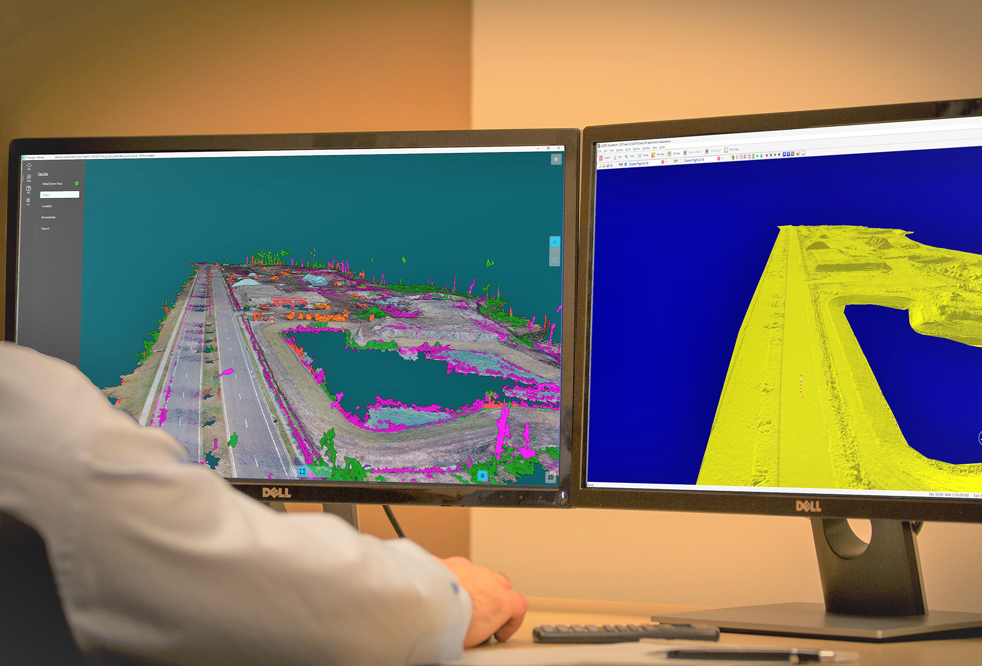
Earthwork software for drone quantities

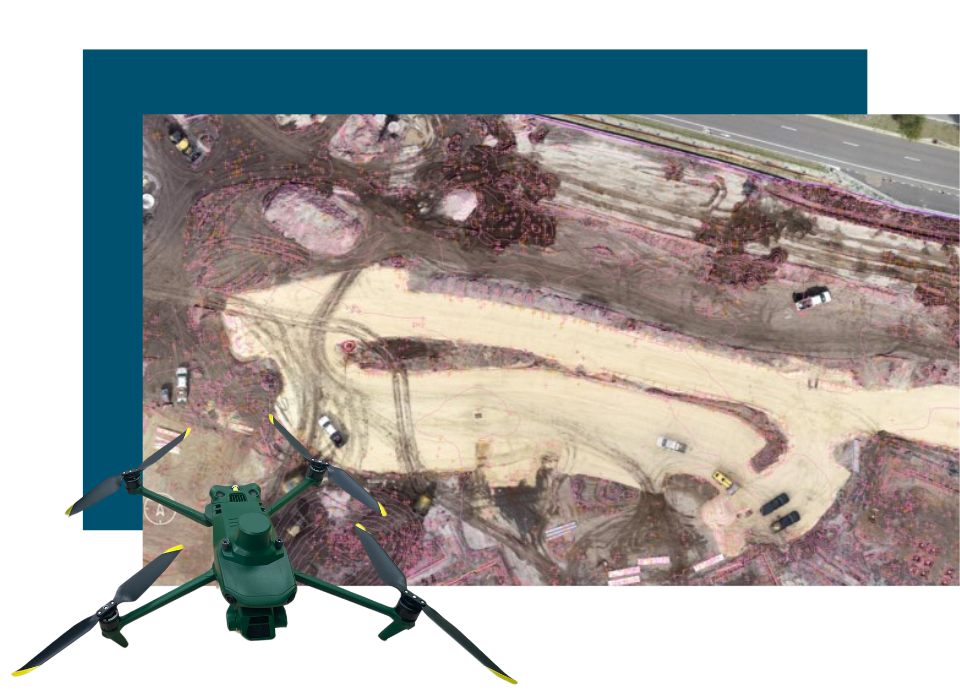
Once the drone has collected the hundreds or thousands of photos of the construction site it is necessary to merge the images together into a combined orthophoto. This is done by downloading each of images and stitching them together by finding overlapping points of interest in neighboring photos.

Once the orthoimage is created elevations are extracted from the photo to create a point cloud which is a file that contains a data points about every inch across the entire site. AGTEK provide operators with a simple template to make the process dirt simple.

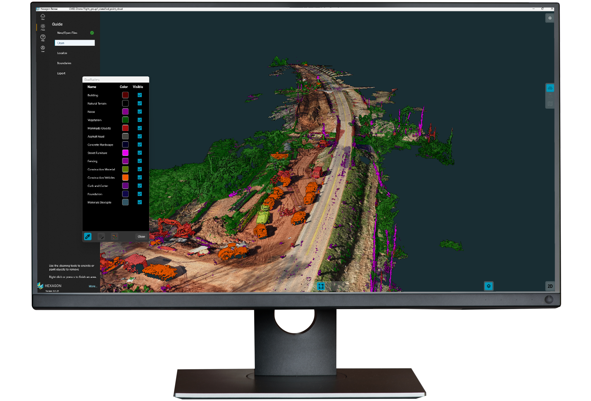
Drones are an optimal instrument and the results are the top of what the drone can see. This will include the tops of site offices, the top of heavy equipment and the top of any construction materials like pipes and fittings. AGTEK has simple routines to clean the data and make it useful for earthwork and construction projects.

Tracking construction progress with a Drone

Drone Progress Quantities


Drone Underground Utilities Progress Quantities


Drone Surveying and Grid Maps

The most important element of any drone survey is turning the data into actionable information and answering questions of how much material has been moved? how much construction remains? What is the volume of the stockpiles? When do I need to order more materials?

These questions are answered by looking both at the orthoimage and the point cloud. The orthoimage can provide valuable insight into what has been put in the ground and what remains. The length of pipe, the amount of base material, the length of curb can all be calculated in AGTEK with simple tools to letting you know where you are in the project.

Volumetric analysis is carried out from the point cloud to determine the volume of dirt that has moved, the volume of dirt in any given area including stockpiles and the volume of dirt that needs to be moved to complete the projects. All of this data is made available in simple reports or can be exported for everyone to see in both the field or the office.

Making data accessible to those on the ground should not be overlooked and AGTEK has a range of SmartApps to make the most of your drone data in the field enabling volume calculations on the fly and the ability to see the orthophoto and updated cut/fill maps of site.

Contact me about AGTEK Drone Solutions
Find out more about Gradework
Watch our Drone Webinar