Please login×

Login
Password
Forgot Password×

To reset your password, enter your username OR your email.
The system will email a password reset link to your account.
Enter

Geo-Referencing

The Modern Gridmap

Field Information Systems

Smart Tracking

Field Productivity Solutions

Prebid

Maintaining production rates in the field is critical to project profitability and project success. Our range of field productivity software solutions are designed to get the job done fast, efficiently and accurately on site. All our field productivity tools are built with the site worker in mind providing insights and actionable information to the boots on the ground including Foremen, Superintendents, Project Managers, Grade Checkers, Operators, Engineers and even the Boss or the Client. Our Field productivity solutions are run on Apple or Android phones and tablets and are built on site licenses ensuring everyone on site can have access to up to date information to make better decisions.

Putting Plans in the Hands of the Field

Prebid

For generations of construction workers paper plan sheets have been the staple reference for how construction details are shared. With the advent of Computer Aided Design (CAD) software the production of plans has quicker and more detailed than ever before. Machine control systems have put these files into machines and surveyors and grade checkers extract details to enable accurate stakeout. Many construction professions however still rely on a set of printed drawings in a site office or site vehicle. These plans often become outdated, damaged by wind or rain and require interpretation as to where you are standing on site.

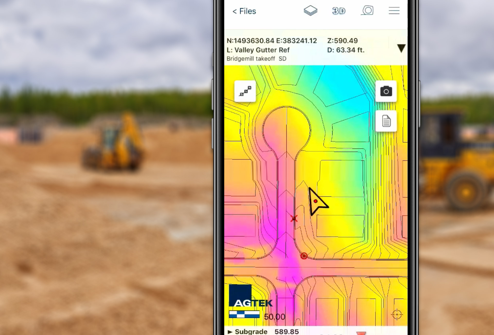
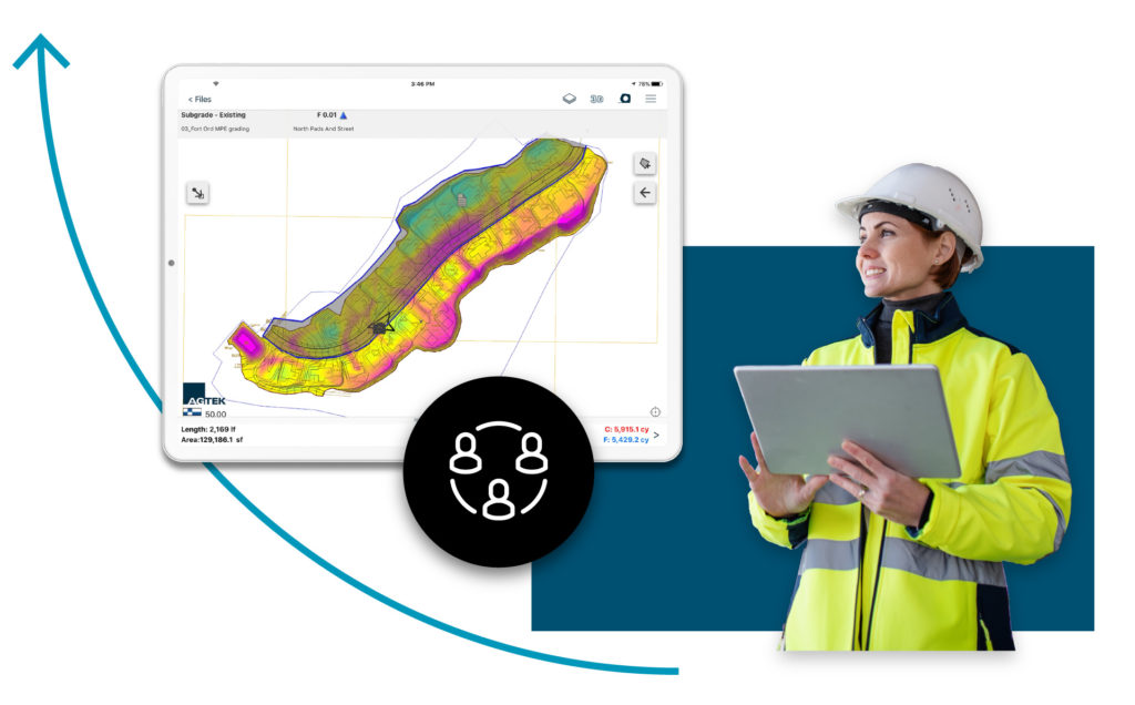
Agtek have move the plan set into the 21st century and put them into the palm of your hand no matter where you are in the world. Simply geo-reference your traditional 2D plans and supplement them with rich 3D data to get a clear picture of where you are and what work is left to finish the job. Visualize data in 3D, calculate volumes in the field and view drone images in the background.

Drill drown into section details or view construction details without having to go back to the site office or truck. Outdated plans become a thing of the past and wet and windy days are no longer a barrier to staying on top of what needs to be done.

Directing Construction from the Field

AGTEKā€™s field productivity solutions focus on providing insights to ensure construction is completed efficiently. This allows decisions making on the fly and course corrections as soon as site conditions change. The user can easily see where they are standing on a plan or cut/fill map, navigate to and stake out daylight lines and calculate volumes to determine balance areas all with a few taps on the phone or tablet. Navigate to and from site using background street maps or satellite images and determine the optimal location to place construction materials and supplies on site.
Sharing data via the cloud

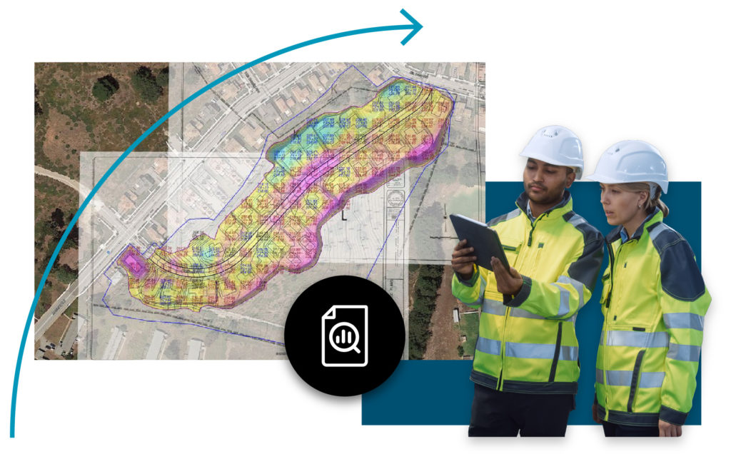
When new information is available from an updated drone flight, an RTK survey the results are delivered directly to the phone or tablet via the cloud. Users in the field can document site conditions, make notes and take photos of site to show how work is progressing and highlight what is happening which can been seen in the office.

Measuring Equipment Productivity and Performance

smart-tracking

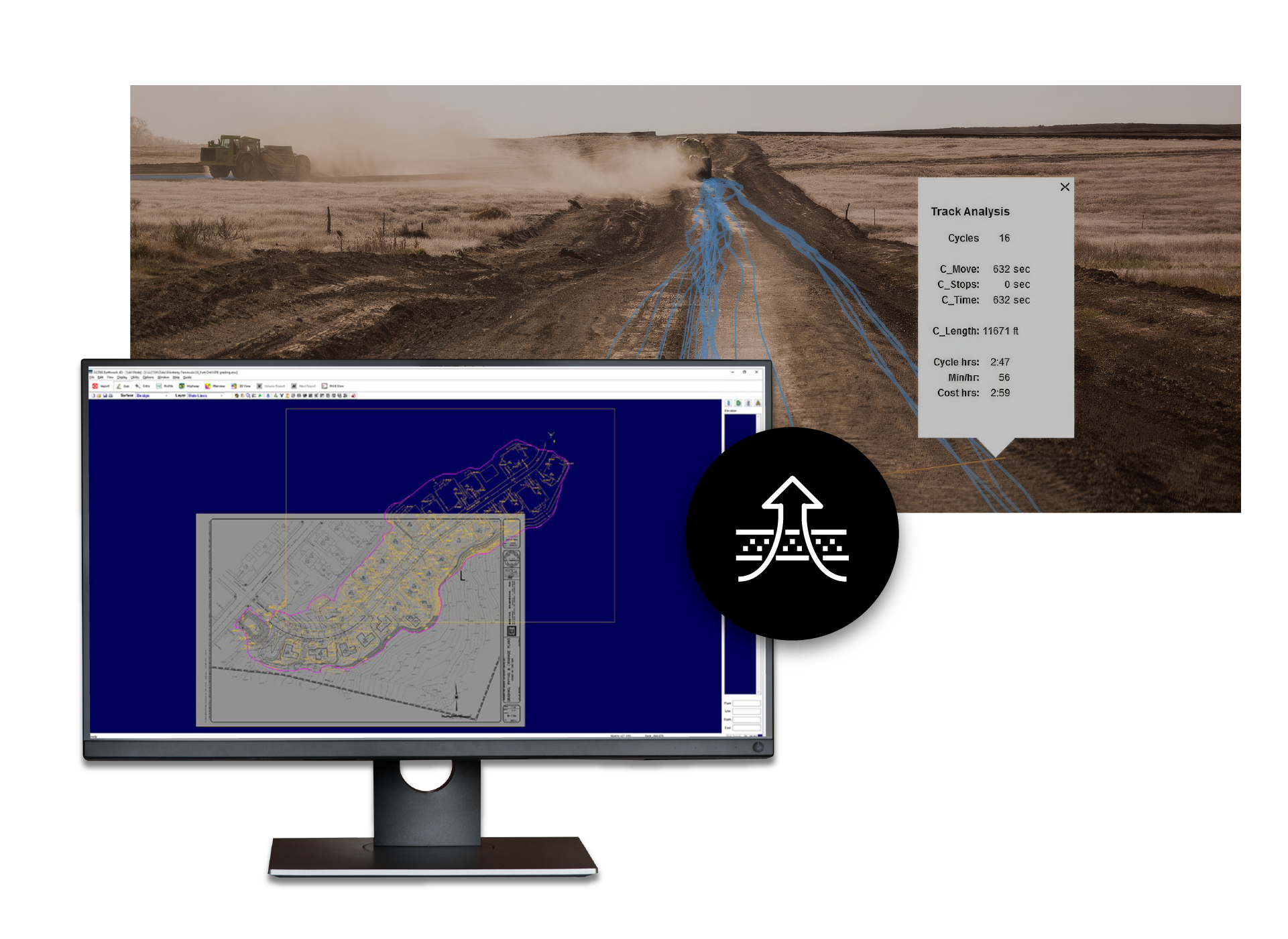
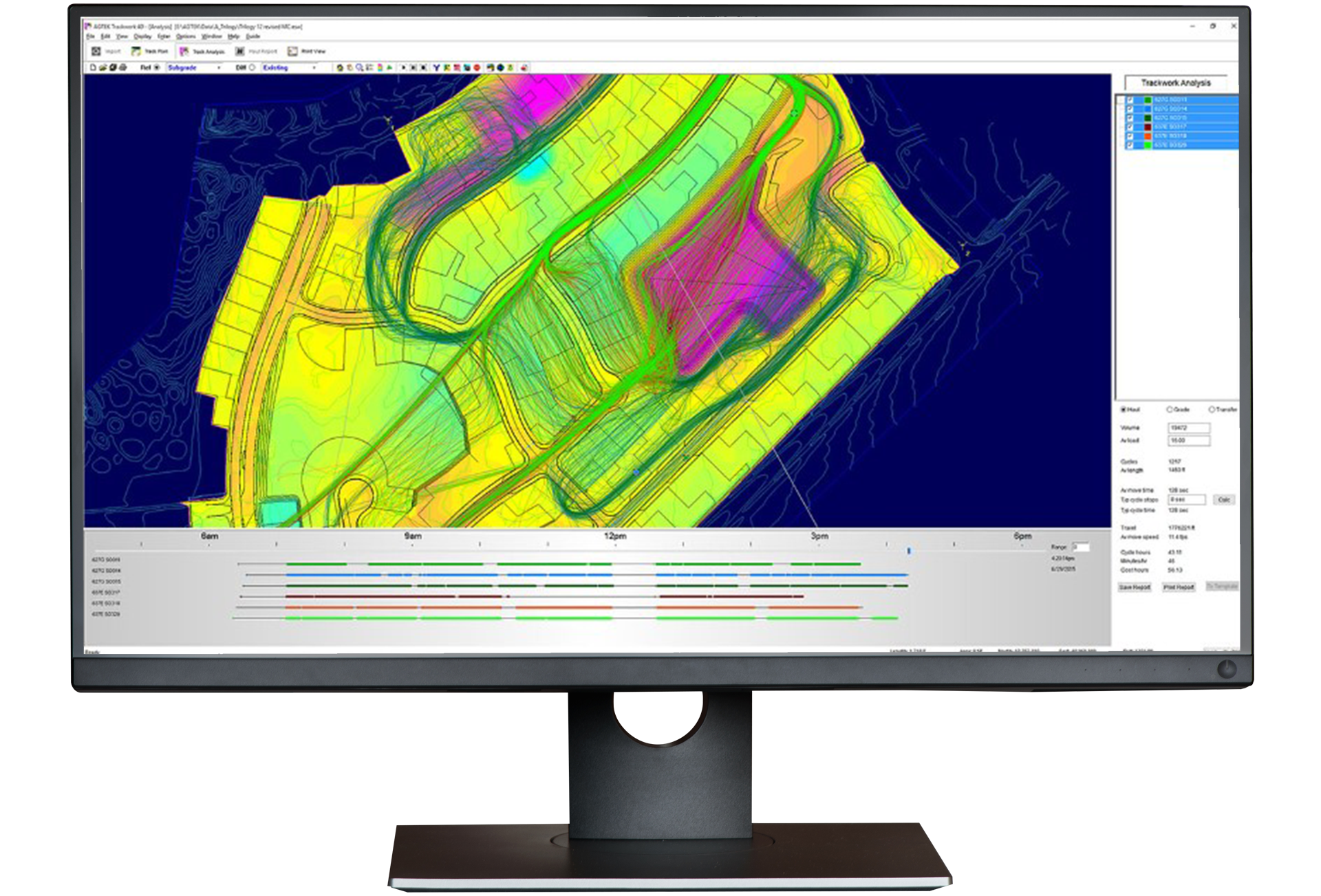
Once the job starts and material is moving, non-intrusive GPS tracking devises mounted to the machines providing a wealth of information of equipment performance and what is happening on site. This level of tracking provides an insight into the time and motion of equipment and is the first step in keeping a project on track.

Whether on site or in the office it is possible to see the movement of the machines in real time, track breaks, maintenance events, unplanned downtime, and idle time. After equipment is running at the start of the day and after shift break, it is important to make sure it is moving where it should be.

Tracking the haul paths provide insight ensuring dirt is being moved effectively from cut to fill. One common source of project over run is moving the material in an inefficient manner, taking longer hauls and ineffectively leverage stockpile and borrow pits. By monitoring these movements and redirecting equipment can have a significant impact before the plan is compromised. Analyze moving time, cycle times, speeds, stops and machine interactions to optimize and manage the flow of your job. Plan and budget machine hours for on-site hauls, off-site trucks, surface grading and paving.

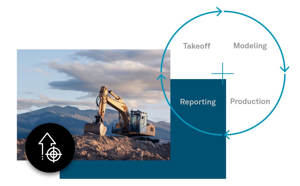
Applying payloads to cycles counts gives a real time view of the volume of material moved and what remains providing project progress reports and evidence for contract reconciliation. This coupled with progress surveys from drones or traditional RTK GPS provides a full picture of how a job is progressing and the questions of what, where, when, why and how.

Taking tracking a step further project portfolios can be managed to balance fleet demands and enable best practices learned from a successful projects to be adopted in other jobs. Whether tracking a single machine or a fleet across multiple projects valuable insights are available to improve efficiency and keep projects on time and on budget.