Highway 4D is a complete highway estimating and modeling tool that adds highway-specific entry techniques and reporting to the Earthwork 4D Suite of products. Highway 4D allows entry of cross sections from PDF or TIF files,survey notes, or electronic file formats as well as supporting coordinate geometry (COGO) entry. On-screen volume reporting and an interactive mass diagram combine to allow quick analysis. By combining different data types from a variety of sources, you can use Highway 4D to create basic highway volumes and reports, surfaces for Sitework 4D, and when accurate data types such as COGO and electronic sections are available for surfaces, field layout and modeling.

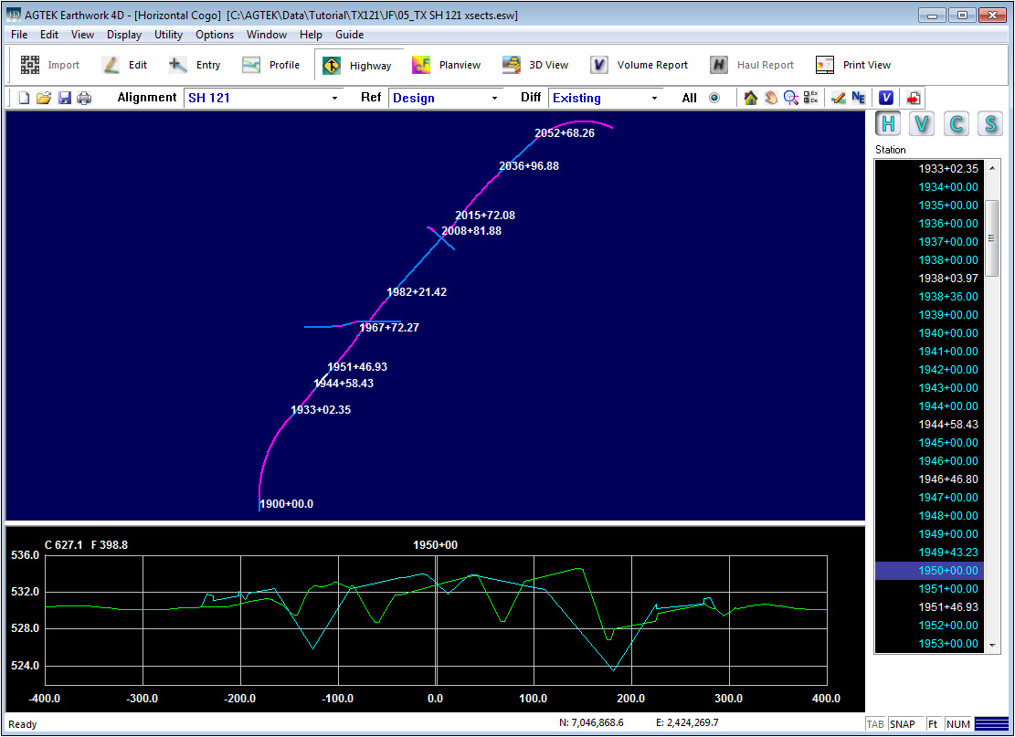
Highway mode consists of four windows. Horizontal Cogo, Vertical Cogo, Cross Sections, and Surface Modeling.
|
Horizontal Cogo (H) |
This window is used to enter or edit the horizontal geometry for a highway alignment. |
|
|
|
|
Vertical Cogo (V) |
This window is used to enter the vertical geometry for a highway alignment. You must also have horizontal cogo entered for the vertical cogo to be applied. |
|
|
|
|
Cross Sections (C) |
This window is used to enter cross sections from a digitizer if the Tablet option is available, as well as editing cross sections entered from PDF files. |
|
|
|
|
Surface Modeling (S) |
This window is used to generate the 3D surface data by applying the cross sections to the horizontal cogo. |
|
|
|
|
Toolbars |
The Selection Toolbar shows the current Alignment, Reference surface and the Difference surface. Uncheck All to display only the Reference and Difference surfaces. The toolbar also includes Home, Pan, Area Zoom, Layer Selection, Edit Cogo, North/East Offset and Volume Calculation and Send to Print Page. |
|
|
|
|
|
|
|
|
|
|
|
The Ref and Diff surfaces are used to compare different surfaces to one another when calculating the volumes. |