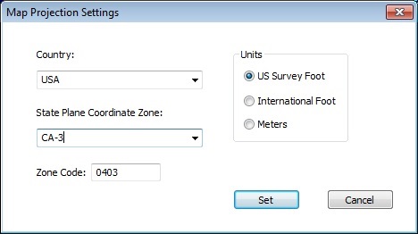
Used to add Benchmarks with Latitude/Longitude information based on State Plane Coordinate Zone projection.

Select the Country and State Plane Coordinate Zone and click Set.
Two Benchmarks will be added to the file at the extents of the job min/max coordinates. The Benchmarks will have Latitude/Longitude required to export a KMZ file.