Video Links: Map Projection Settings
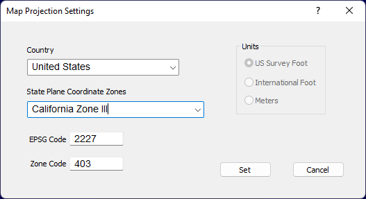
Used to add Benchmarks with Latitude/Longitude information based on State Plane Coordinate Zone projec tion. Select the Utility menu and select Transform Job > Map Projection Settings.

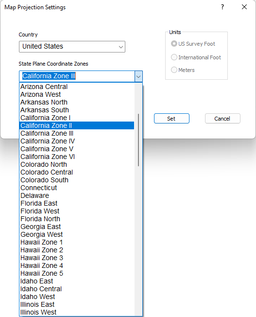
Select the Country and State Plane Coordinate Zone and click Set.

Two Benchmarks will be added to the file at the extents of the job min/max coordinates. The Benchmarks will have Latitude/Longitude required to export a KMZ file.