To view your job site on Google Earth, or use the file in the field with SmartPlan, you must first geo-reference your job file by adding two benchmarks with approximate latitude and longitude information in Sitework 4D. You may use Google Earth® to locate these points. This procedure is the same for files containing plan sheets only for a pre-bid walk-thru, or a complete takeoff to be used for job planning and project management.
Video Links: Geo-Referencing Files
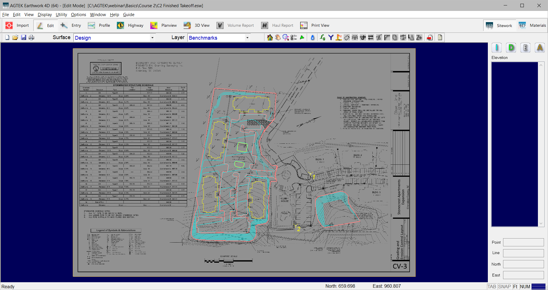
Enter Benchmarks and Locate Lat/Long Information
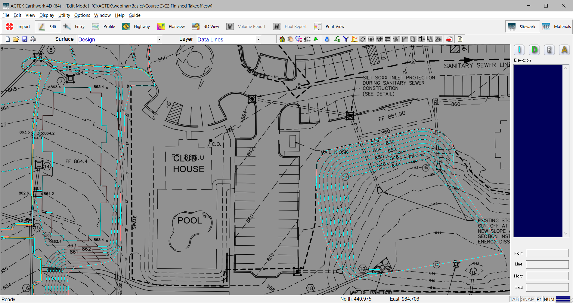
To locate benchmark coordinates, and assign those coordinates in Sitework 4D, it is best to have both Sitework 4D and Google Earth® open simultaneously.
Identify some existing features that can be found on the plan sheets. Existing buildings, corners of curbs or catch basins are good examples.
Locate the two common features found on Google Earth. Minimize Sitework 4D and return to Google Earth. .In Google Earth, select the Show Ruler icon, or select the Tools menu and select Ruler. Draw a line connecting the two points. Click the Save button.
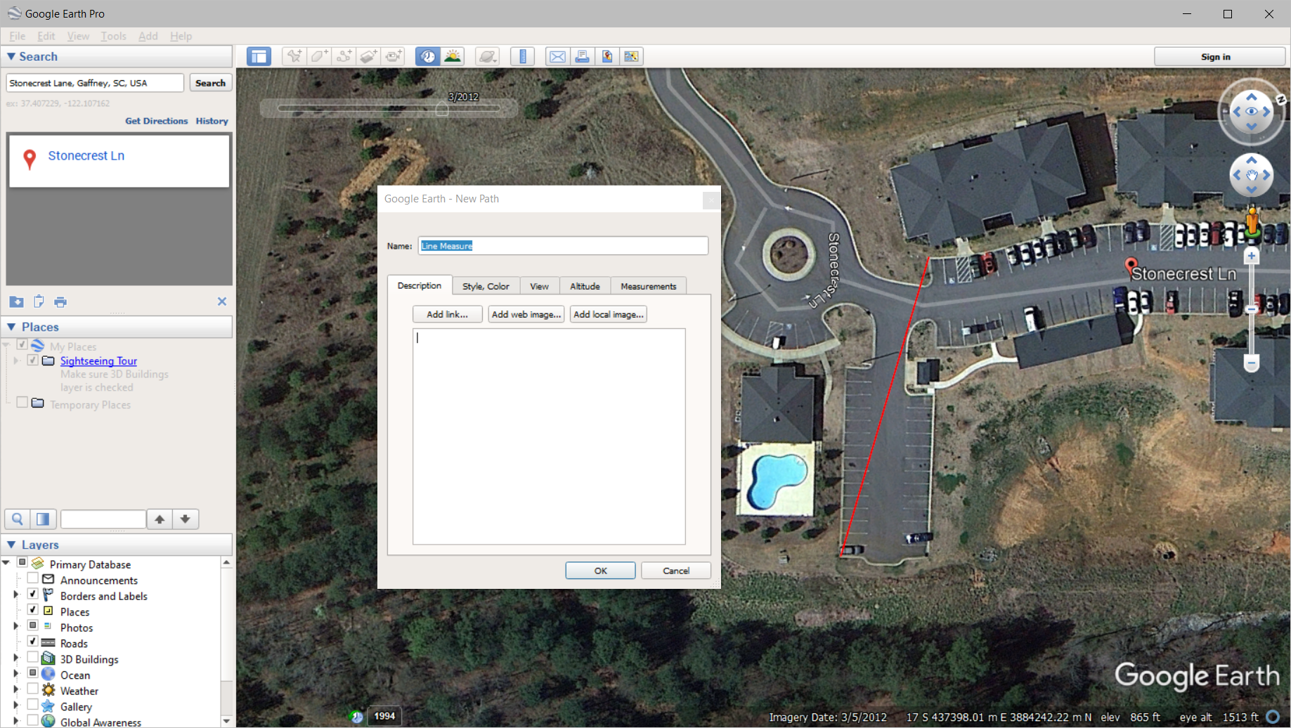
Keep the name Line Measure and click OK. Right click on Line Measure under Temporary Places and select Save Place As. Save the file to the same file folder containing the Sitework 4D job file. In Sitework 4D, right click and select Import File. Select the Line Measure.KMZ file and click Import.
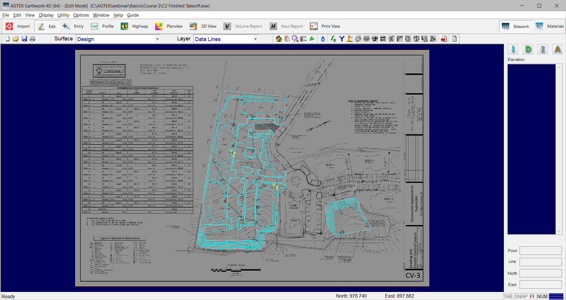
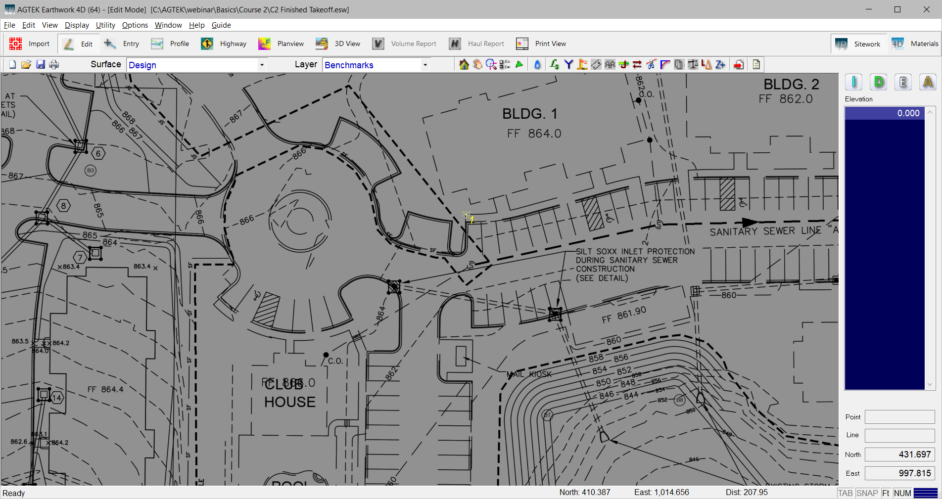
The Benchmarks will be inserted, however they will not be in the correct location. Change the layer to Benchmarks. Select one of the benchmarks. Position the tip of the arrow on the corresponding location on the plan sheet and press the F7 key to move the benchmark to the new location.
Repeat this process for the second benchmark. The KMZ file may now be exported.