SmartDirt Mobile App Leverages Today’s Smartphones and Tablets
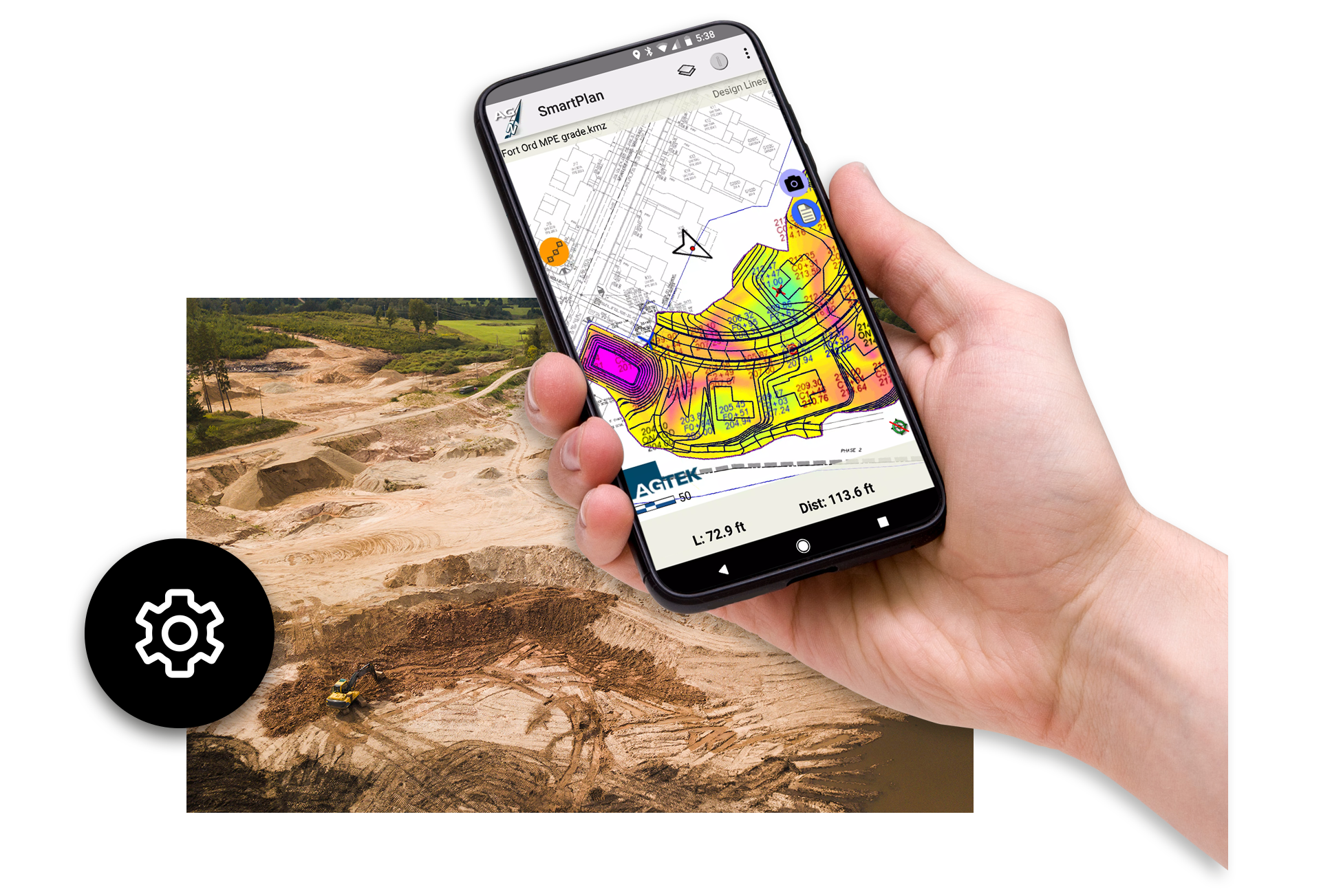
SmartDirt provides a new level of processing power and 3D graphical information to the team making quick decisions on the ground—so they get the fast answers they need to keep the job moving.
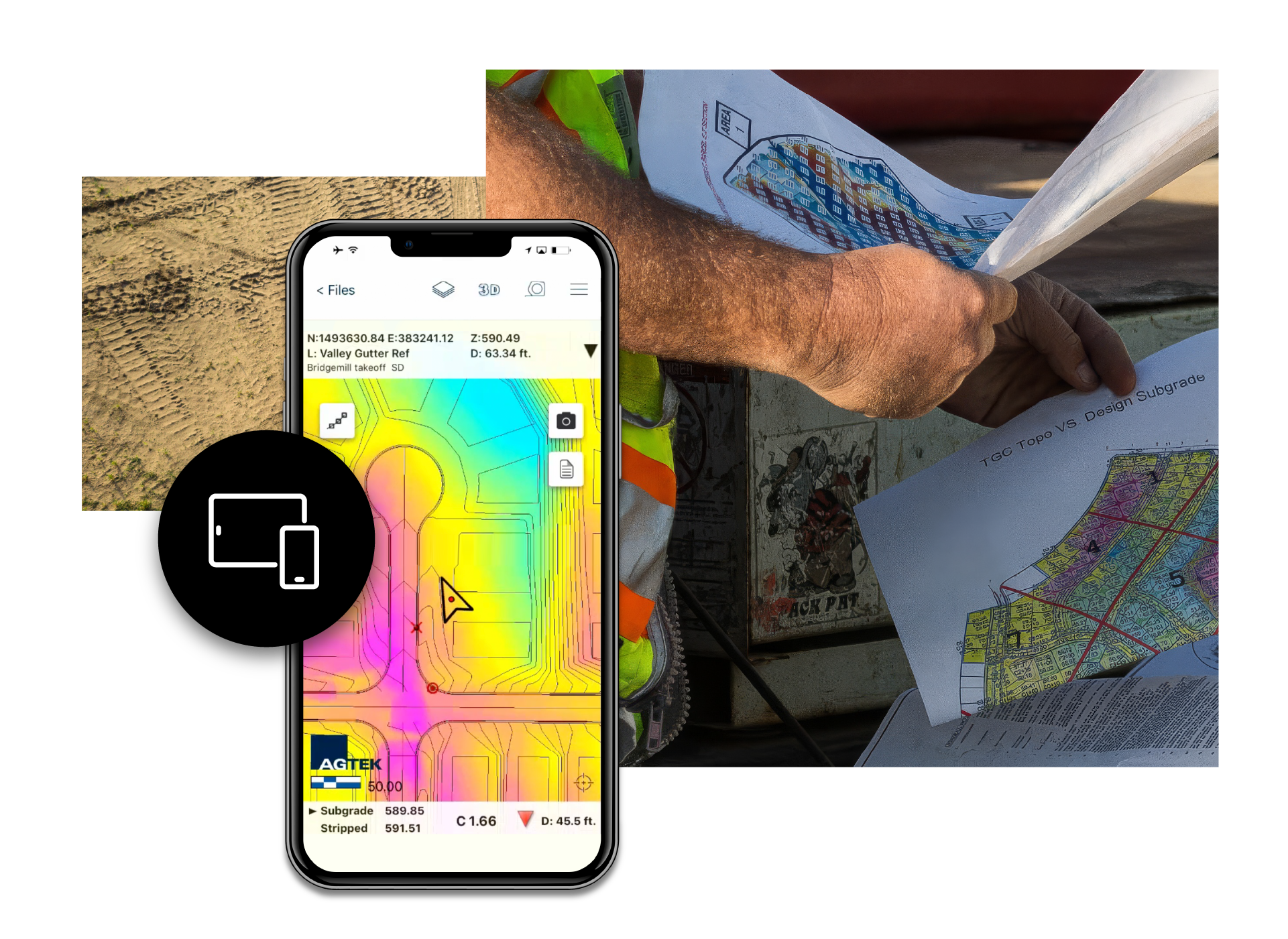


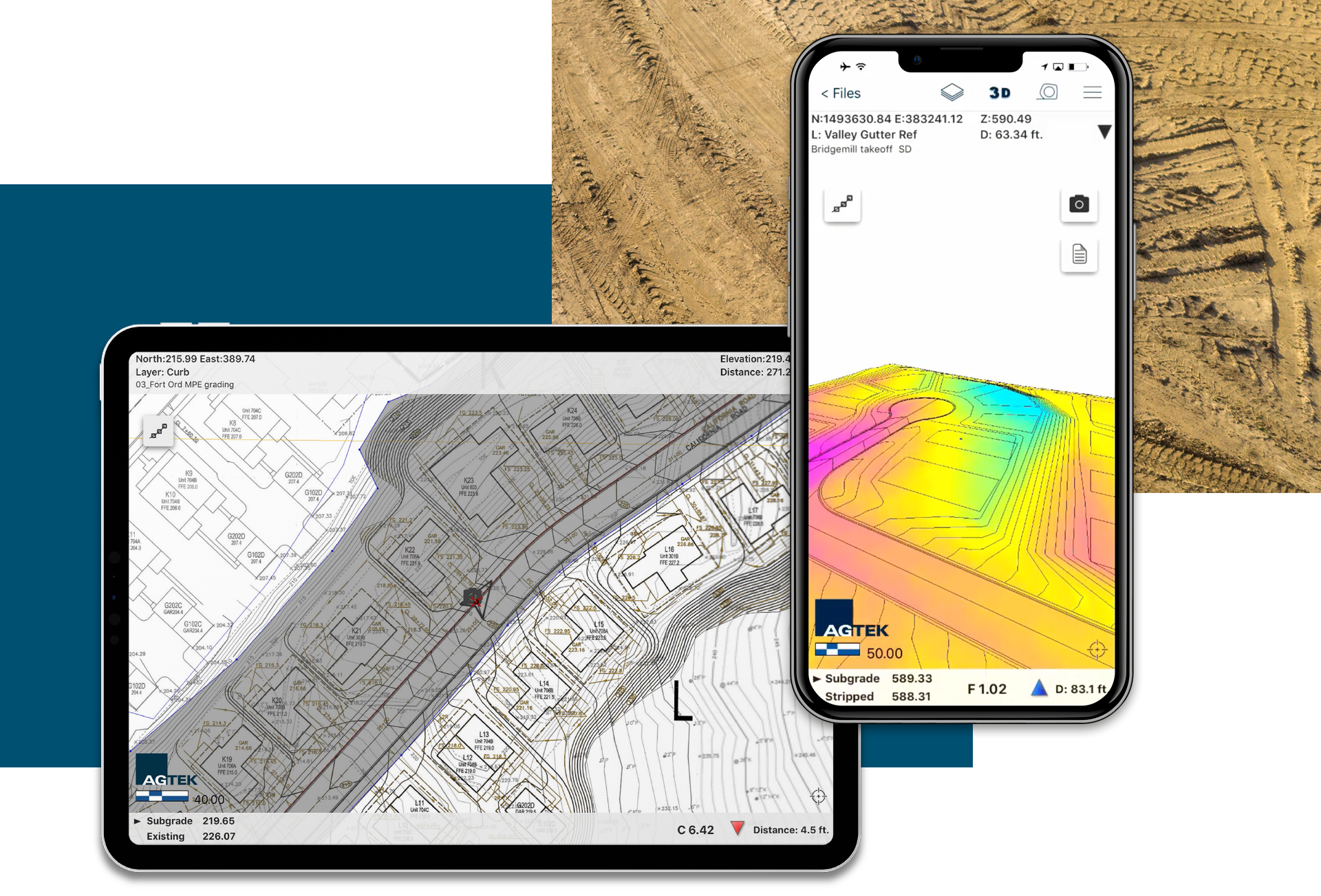
Get Answers on the Move
SmartDirt shows cut-fill and elevation wherever you’re standing based upon your takeoff, latest drone topo, or the GPS model guiding your machines. It communicates grade and inspects models with 3D visualizations that move with you as you move across the site.
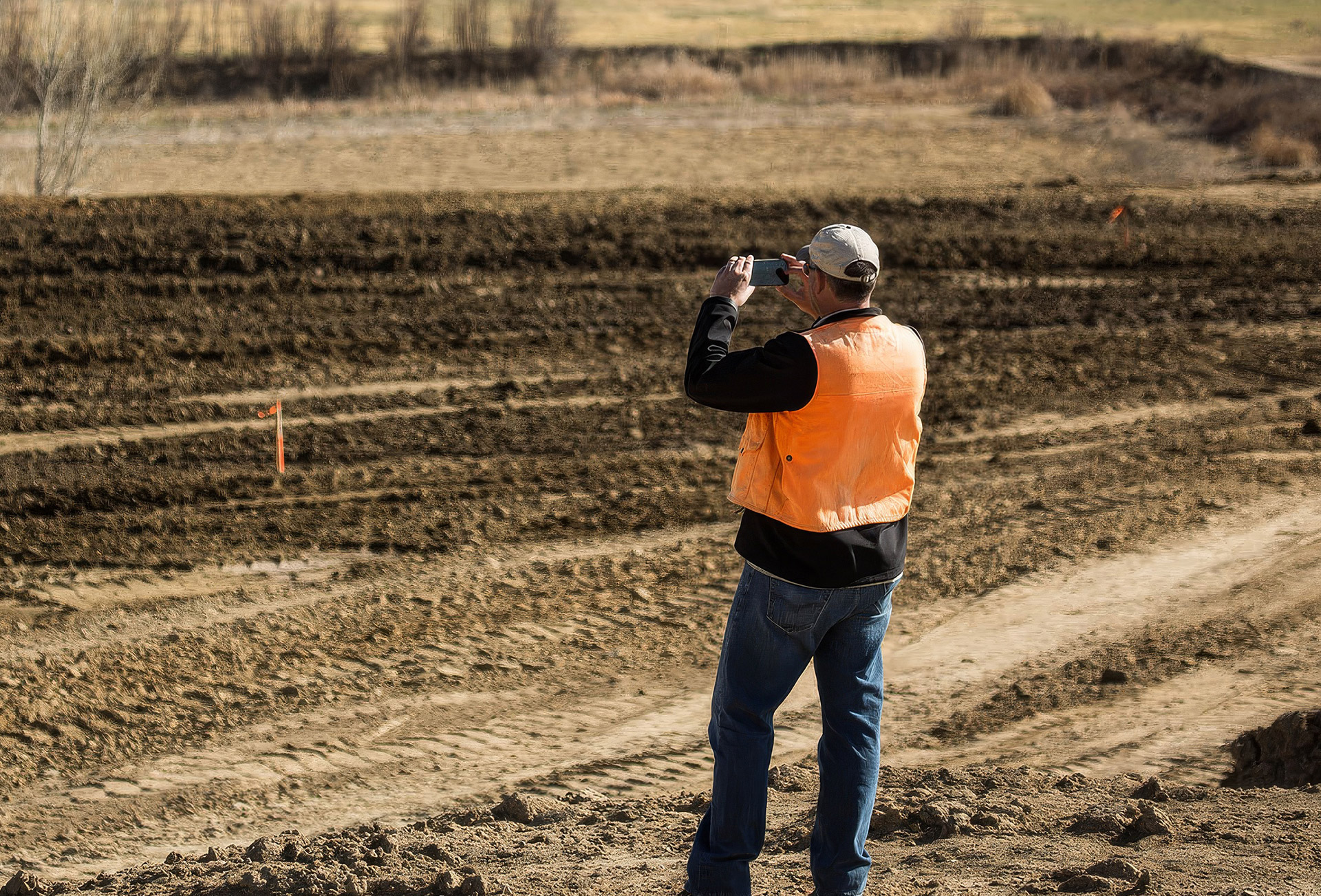
Documentation Made Easy
SmartDirt makes it easy to document progress with photos, notes and tracks that can be shared with the rest of the team in a convenient Google Earth file format. SmartDirt comes as a facility license which means that everyone who needs it can have it.
Features & Benefits
A 3D model of your job that fits in your pocket, along with the plan sheets and an orthomosaic image from your last drone flight.
3D graphical job site information displayed on your smartphone
See cut/fill information where you are standing on site
Calculate balanced areas in the field
Document progress with photos and notes
Easily share data with your team
SmartDirt Applications

Real-time 3-D in the palm of your hand
SmartDirt’s real-time 3D feature ensures that the project teams always know where they stand, increasing transparency, team collaboration, project efficiency, and financial predictability. It allows users to capture jobsite conditions, track progress, and monitor the quantity of earth moved effectively.
Customer stories
Hear what our customers think about AGTEK.
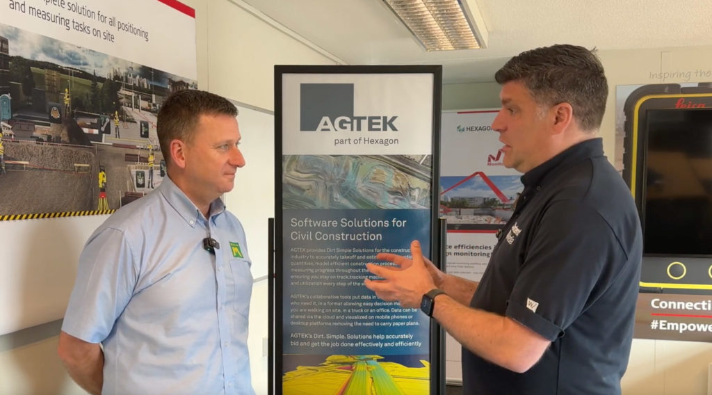
D Morgan expanding digital workflows with AGTEK
Adam Onyett from D Morgan explains how they believe that AGTEK will become the single solution for them.
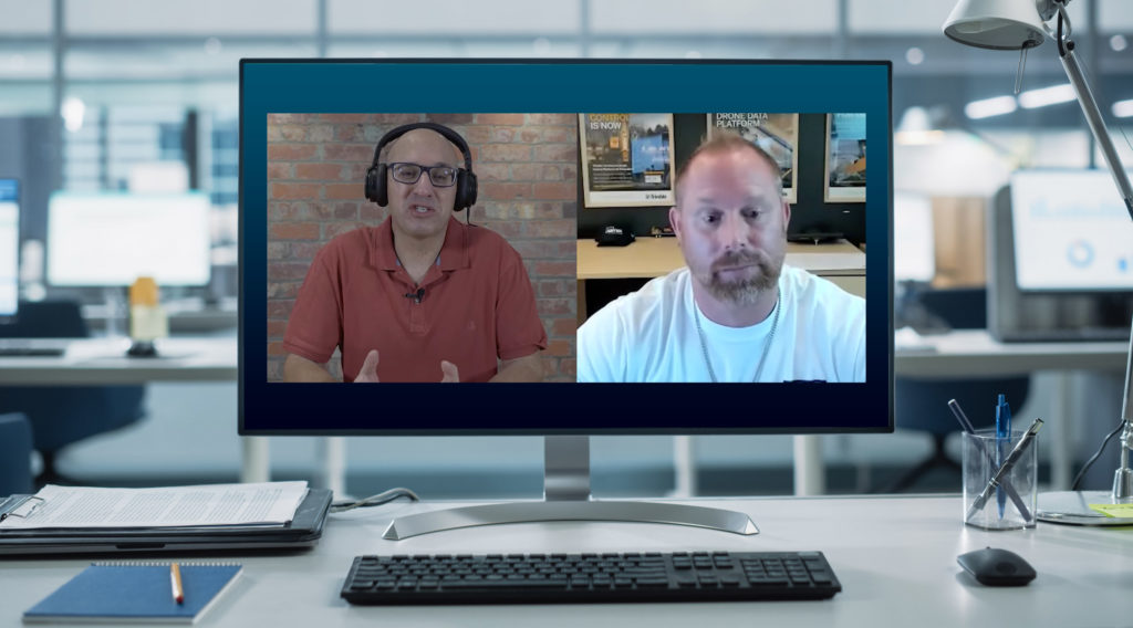
Elder Corporation managing production with Trackwork
Shawn Swygman of Elder Corporation takes a deep dive into their use of AGTEK, specifically the Trackwork module.
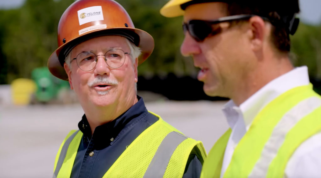
Cyclone Land Development
For over 20 years Cyclone Land development has been partnering with AGTEK to provide digital solutions to help simplify the construction process.

Training and Support at Your Fingertips
Get the most out of your AGTEK tools. Choose from web-based trainings or in-person classes for beginner, intermediate, or advanced learners. Our Community is here for you 24/7 with downloads, manuals, Tech Tips, and more.
Get in touch with our team
Let us know if you have questions about AGTEK sales, training, or products. A representative will be in touch soon.
-
Connect with an AGTEK expert
-
Get your questions answered fast
-
Start winning more jobs with AGTEK