Enhance Efficiency with Earthworks Takeoff Software
The Gradework suite is a complete takeoff solution for sitework, highway, paving, and pipe, with data connected by cloud-enabled licensing keys, maximizing your investment, mobility, and value.

Earthwork Takeoff Solutions
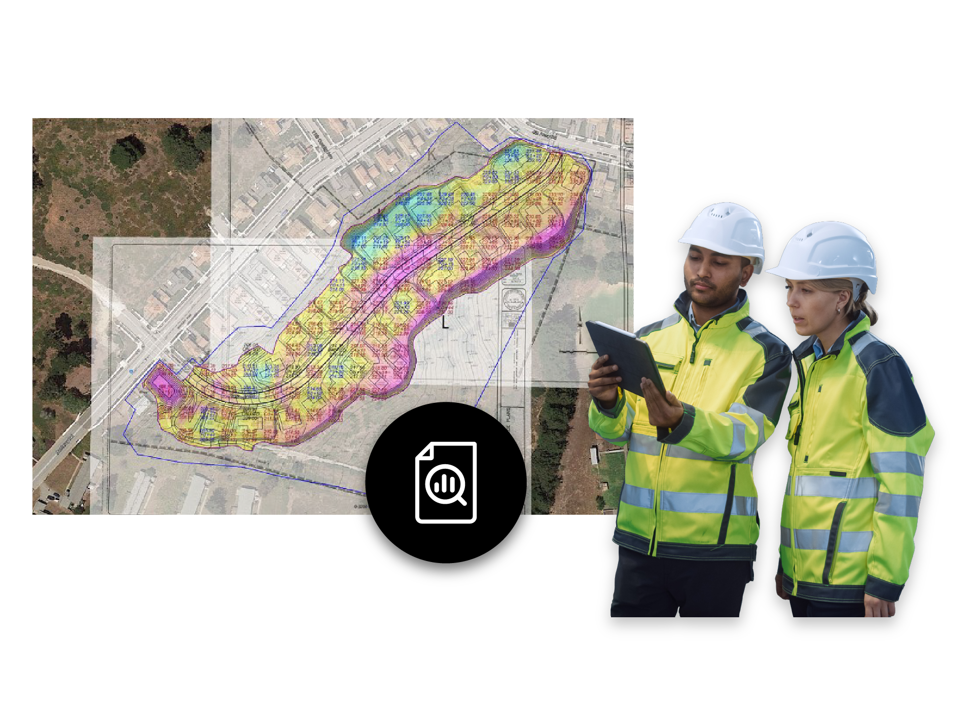
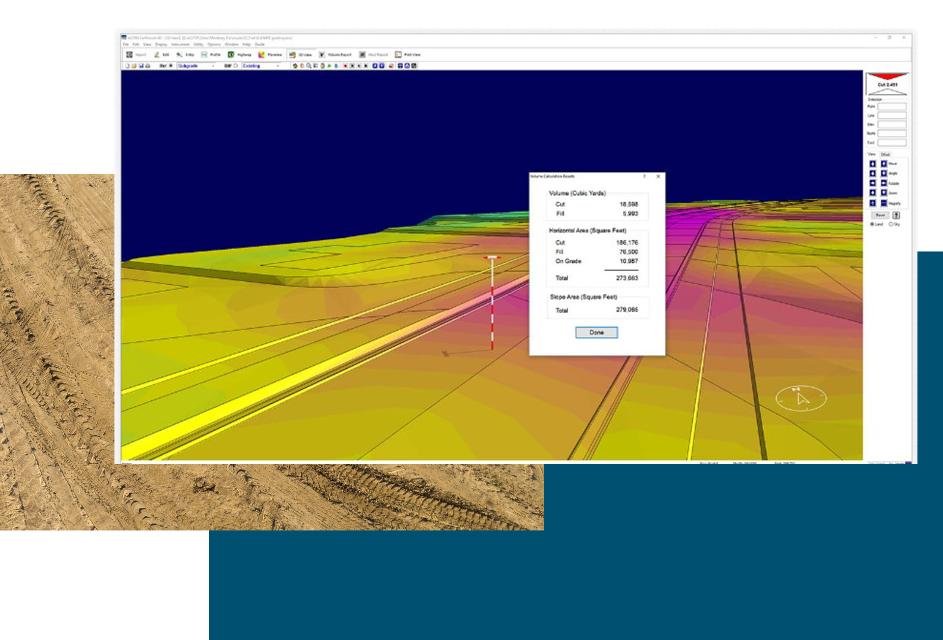
Gradework is specifically designed for earthwork takeoff, prioritizing speed, accuracy, and ease of use. With powerful modeling tools and field-ready outputs, it provides an efficient and straightforward sitework solution. Gradework simplifies construction workflows, from initial bidding to final delivery, enabling contractors to work with PDF, CAD, or manual data for precise bids, streamlined site management, and successful project execution.
AGTEK’s takeoff solutions support both above and below-ground projects, helping your team create reliable, competitive bids. Once the project is secured, the same AGTEK model seamlessly integrates with GPS machine control systems, regardless of the brand.
Materials, Paving, and Flatwork Solutions
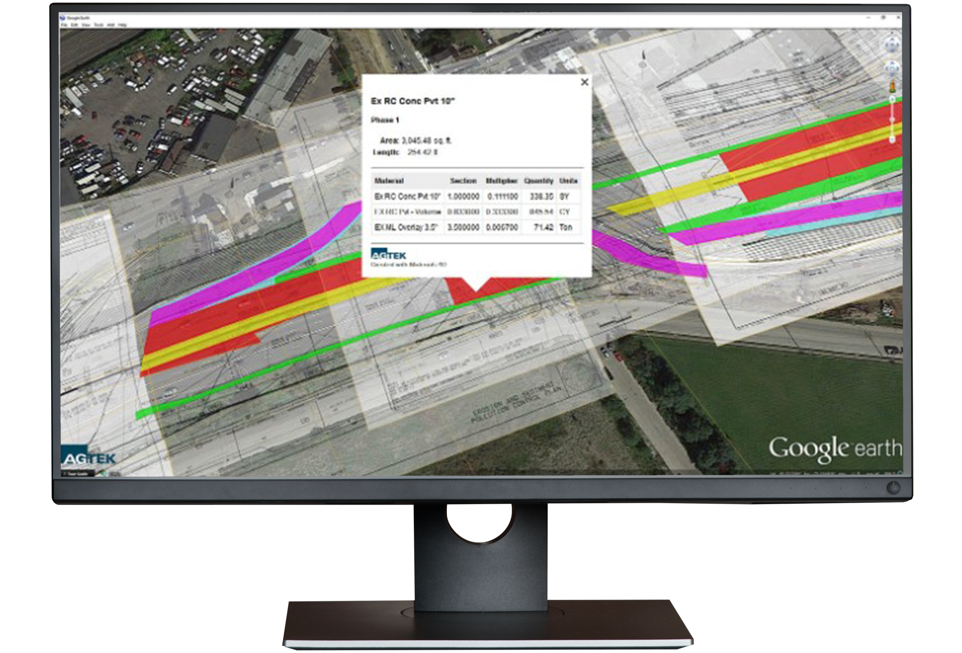
Materials quantifies the lengths, areas, and counts required to create a complete takeoff and bid without entering data twice. Use your dirt takeoff, PDF, or CAD data to measure the length, area, and counts and derive cost quantities for demolition, pavement, curb and all finished surfaces. Then use built-in phasing to organize project steps and create graphical, mobile outputs. Putting materials first allows takeoff data to be sent to sub-contractors or specialty trades quickly to speed up the bidding process. This integrated solution ensures that no data is entered twice, reducing errors and improving the accuracy of earthwork takeoff.
Highway and Infrastructure Takeoff Solutions
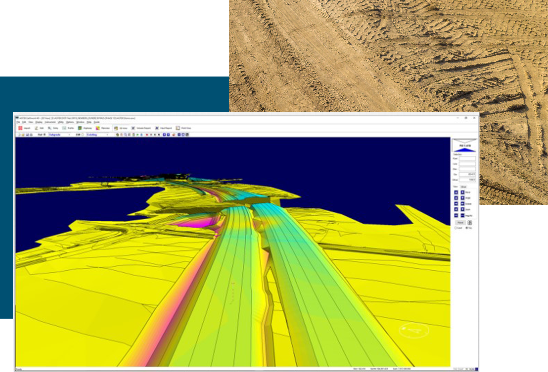
Infrastructure, roadwork, rail, and other corridor projects have their own unique specifications and takeoff needs. Highway extends the capabilities and outputs of Sitework 4D while maintaining the simplicity and ease of use of all AGTEK products. Support for DOT and other electronic CAD data speeds data entry, while multiple surfaces assist in phasing, planning, and documenting the complexities of roadwork and highway projects.
Create detailed mass haul analysis and phase construction and earthworks in the most efficient way possible. Highway 4D is the ideal tool for road, highway, and major civil construction projects.
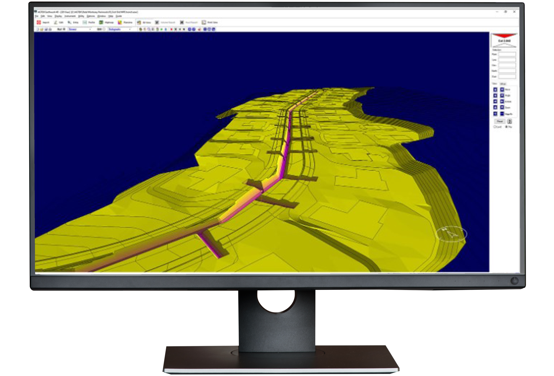
Underground, Utility, and Pipe Takeoff Solutions
Underground provides takeoff and estimating details including depth brackets, materials breakdowns and counts for pricing the utility components. Define trench templates, pipe, bedding, cover, backfill, and spoil details to get accurate volumes simply for all utilities. If your site has rock or other strata, calculate the trenching and excavation required in each layer. Phase utility construction based on the lowest surface to minimize excavation and material removal. Export details that enable machine control models to construct trenches to minimize under or over digging to save materials and time.
Get in touch with our team
Let us know if you have questions about AGTEK sales, training, or products. A representative will be in touch soon.
-
Connect with an AGTEK expert
-
Get your questions answered fast
-
Start winning more jobs with AGTEK