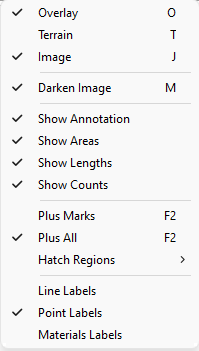
The Display Menu is used to adjust how the on screen data is displayed. The following commands all operate as On or Off toggles. A check next to the command indicates that it is currently enabled. Click on a command to learn more about them.
Overlay Terrain Image Darken Image Show Annotation Show Areas Show Lengths Show Counts Plus_Marks Plus_All Hatch Regions Line Labels Point_Labels Materials_Labels