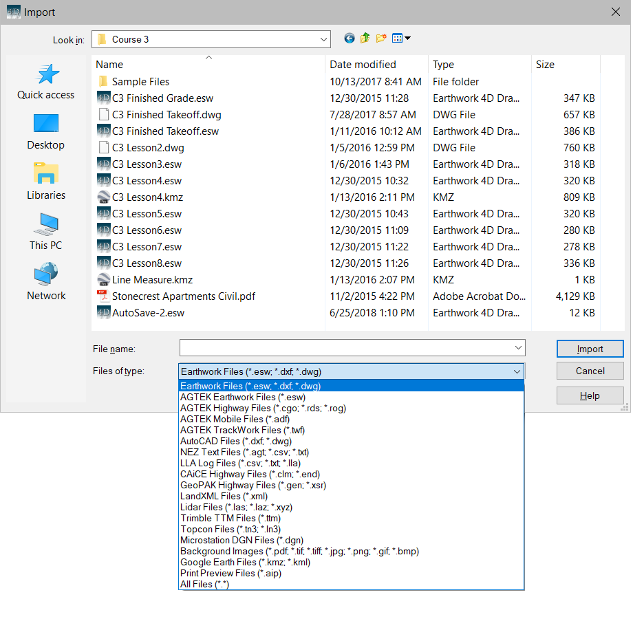
Importing allows data from outside sources to be used as a part of the takeoff job. Import is started by selecting Import from the File Menu. Displays the Import Window and a list of available files.
Earthwork Files |
(*.esw, *.dxf, *.dwg, *.esz) |
AGTEK EarthWork Files |
(*.esw) |
AGTEK Highway Files |
(*.cgo, *.rds, *.rog, *.rcs) |
AGTEK Mobile Files |
(*.adf) |
AutoCAD Files |
(*dxf, *.dwg) |
NEZ Text Files |
(*.agt, *.csv, *.txt) |
LandXML |
(*.xml) |
Trimble TTM Files |
(*.ttm) |
Topcon Files |
(*.tn3, *.ln3) |
Microstation |
(*.dgn) |
Background Images |
(*pdf, *.tif, *.jpg, *.png, *.gif, *.bmp) |
Google Earth Files |
(*.kmz, *.kml) |
Print Preview Files |
(*.aip) |
All Files |
(*.*) |

Use the drop-down menu to choose the file type. A list of available file for import display. Select the file from the list in the window. The name then displays in the File Name text box. Press the Open button to get the file. If an AGT, DWG or DXF file is imported, the screen switches to Import mode allowing you to transfer the data to the appropriate surface. Importing an AIP file automatically switches the program over to the Print Preview Page.
Also see: Importing Data
![]()
Print Preview Page
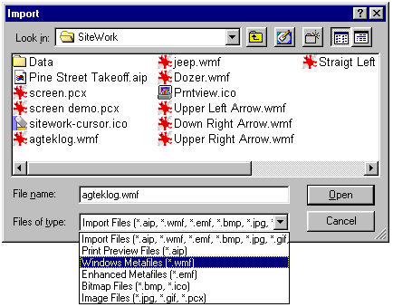
Graphics are imported to the Print Page by selecting Import from the File menu. When selected, the Import window displays.

The window displays a selection of files available for importing to the Print Preview Page. A variety of file type can be imported. Use the drop-down menu and select the file type. Select the image file from the list that displays in the window and press the Open button. Once imported, the image can be moved and resized.
Also see: Print Page Basics